Westport guide
Westport Neighborhoods
A field guide to Westport, area by area, with what a buyer should know about each, from flood maps and sewer lines to the train and the schools.


Saugatuck

Latest from Saugatuck
Development
Westport Erases the Hamlet’s Zone, and Saugatuck Starts Over
Policy
How Planning and Zoning Voted on Westport’s Biggest Questions
Architecture
Westport’s 17 Places on the National Register
Town Hall
RTM Committees Advise Westport to Stay Out of the State’s New Development Agency
Saugatuck sits where the river meets the railroad, and Westport station at 1 Railroad Place is at its center. The station is 44.2 miles from Grand Central and has 1,454 parking spaces.
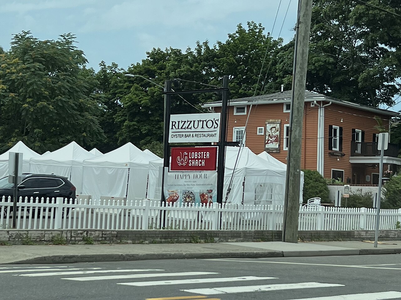
The neighborhood is changing. In September the Planning and Zoning Commission erased the Saugatuck Marina zone written for the failed Hamlet project and rezoned 14 Saugatuck Center properties for smaller development. Spinnaker Real Estate Partners bought more than half of the former Hamlet site in March and has proposed apartments there. At the river crossing, the state prefers to replace the Cribari Bridge, with construction no earlier than 2030.
Saugatuck Shores is named in the town’s hazard mitigation plan as a flood-prone area. Check the flood maps for any address there. Saugatuck Elementary is one of the district’s five elementary schools.
Compo Beach and Owenoke


Latest from Compo Beach
Architecture
Stone, Glass and the Wrecking Ball
Architecture
Westport’s 17 Places on the National Register
Coast
Westport Prices Its Shoreline at $14 Million to $54 Million
Open Door
Where the Illustrators Lived
Between 1910 and 1940 the land around Compo Beach and Owenoke became a summer resort, and much of it survives as the Compo-Owenoke Historic District, 154 acres listed on the National Register in 1991. Many of its houses were designed by the architects Sanford Evans and Ernest G. Southey. F. Scott and Zelda Fitzgerald spent the summer of 1920 in the Wakeman Cottage at 244 Compo Road South.
Compo Beach anchors the area, and the Minute Man Monument stands nearby. A town beach emblem is required from May 1 to Sept. 30. The town is weighing a $14.1 million to $54.5 million restoration of Compo Main, Compo South and three other beaches.
Compo is also among the coastal areas the town’s hazard plan identifies as flood-prone, and the Sept. 13, 2026 storm flooded streets in the Norwalk Avenue and Compo area. Flood insurance and elevation belong at the top of any buyer’s list here.
Greens Farms and Beachside


Latest from Greens Farms
Development
A $100 Million Apartment Plan Meets Greens Farms Road’s Floodwater
Buyer’s Guide
Beach Emblems, Longshore and Sherwood Island, What a Westport Address Gets You
Buyer’s Guide
Commuting From Westport to Manhattan
Commercial
Private Equity, a New York Landlord and a Grocer Reshape Commercial Westport
On Beachside Avenue in Greens Farms, where E.T. Bedford once kept an estate with its own racetrack, five parcels sold for $54 million in November 2025, the largest residential sale in Westport history, and 92 Beachside sold for $15.5 million in the spring of 2026. Bedford’s Nyala Farm became an office park in the late 1960s and is now the headquarters of Bridgewater Associates.
Sherwood Island State Park, Connecticut’s first state park, covers 238 acres and roughly 6,000 feet of beach, reached from Interstate 95’s Exit 18. Burying Hill Beach is a town beach.
Green’s Farms station, at 2 Post Office Lane, is 47.2 miles from Grand Central with 466 parking spaces. On Greens Farms Road, a Trammell Crow affiliate has proposed 250 apartments on a 21.9-acre office campus, with a Conservation Commission hearing scheduled to resume Oct. 28. Greens Farms Elementary is one of the district’s five elementary schools.
Downtown

Latest from Downtown
Architecture
Westport’s 17 Places on the National Register
Infrastructure
Storm-Damaged Jesup Road Bridge Will Take a Year or More to Replace
Commercial
Private Equity, a New York Landlord and a Grocer Reshape Commercial Westport
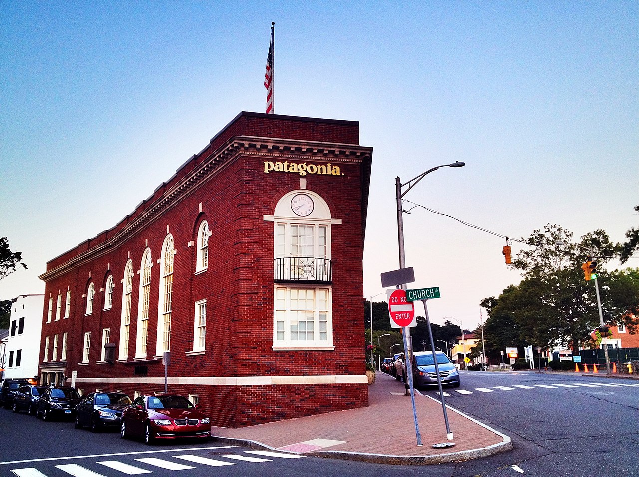
Downtown Westport runs along Main Street, the Post Road and the Saugatuck River. The Westport Center Historic District was listed on the National Register in 2016. The Westport Library at 20 Jesup Road, founded in 1886 and transformed in 2019, has a 650-seat forum. The Jesup Road bridge nearby was badly damaged in the Sept. 13 storm and will take 12 to 18 months to replace.
Downtown property is trading. The Feil Organization bought 2-14 Post Road East, a 1973 mixed-use building with 10 apartments, for $5.15 million, and 33 Elm Street sold for $8,325,000 in June. Our commercial ledger has the rest. Under the state’s new housing law, small residential projects on commercial lots no longer need to meet parking minimums, although the town has created traffic mitigation districts along the Post Road and downtown to keep some standards.
The Jesup Road local historic district, established in 1982, is one of seven local districts in town.
Kings Highway and Old Hill


Latest from Kings Highway
Architecture
Stone, Glass and the Wrecking Ball
Architecture
Westport’s 17 Places on the National Register
Open Door
Where the Illustrators Lived
Preservation
Saving the Saltbox
The Kings Highway was laid out in 1672, and the Kings Highway North Historic District preserves 106 contributing buildings in Colonial, Federal and Greek Revival styles. It was listed on the National Register in 1998 and protected as a local historic district in 1973, with extensions in 1990 and 2000. Exterior changes visible from a public way need a Certificate of Appropriateness from the Historic District Commission.
Old Hill Road is home to the fieldstone Shambaugh House at No. 12, designed by Charles E. Cutler around 1923 and listed on the National Register in 1999. On Cross Highway, the 1764 Sturges-Wright House was home to the illustrator George Hand Wright, regarded as the founder of the Westport artists’ colony.
Kings Highway Elementary is one of the district’s five elementary schools. Buyers here should ask early whether a house is in a local historic district. Our preservation story explains what designation means.
Coleytown and North of the Merritt
Latest from North of the Merritt
Buyer’s Guide
Sewer or Septic? How to Tell, and Why It Matters in Westport
New Construction
The Price of New in Westport
Buyer’s Guide
Before You Buy a Westport House to Rebuild
North of the Merritt Parkway, most houses rely on septic systems, because sewer service is generally not available there. Additions, new bedrooms and pools go through septic review by the Aspetuck Health District. Our guide to rebuilding explains what that review requires.
New construction here can reach the top of the inland market. 5 Fraser Road, completed by Skyview Builders in 2025 on two acres, sold for $10.25 million that July. Paul Newman and Joanne Woodward’s Westport home was in Coleytown, near the Newman-Poses Preserve, 06880 has reported.
Coleytown Elementary and Coleytown Middle School take their names from the area. The Merritt’s Westport exits are now numbered 20 and 21, formerly 41 and 42.
Sources
- Town of Westport, Engineering Department, accessed Oct. 2026
- Wikipedia, Westport station, Metro-North, accessed Oct. 2026
- Wikipedia, Green’s Farms station, accessed Oct. 2026
- Wikipedia, Sherwood Island State Park, accessed Oct. 2026
- Westport Library, About the library, accessed Oct. 2026
- Wikipedia, Compo-Owenoke Historic District, accessed Oct. 2026
- Wikipedia, Kings Highway North Historic District, accessed Oct. 2026
- WestCOG, Hazard Mitigation Plan, Westport annex, January 2021
- 06880, Joanne Woodward, accessed Oct. 2026
- Westport Journal, Merritt’s Westport exits are now 20 and 21, July 30, 2025